Translate this page:
| Pincode | 508213 |
| Name | Gumpula Tirumalgiri B.O |
| District | Nalgonda |
| State | Andhra Pradesh |
| Status | Branch Office(Delivery) directly a/w Head Office |
| Head Office | Suryapet H.O |
| Sub Office | |
| Location | Suryapet Taluk of Nalgonda District |
| Telephone No | Not Available |
| SPCC | SURYAPET HO-508213 |
| Department Info | Suryapet Division Hyderabad Region Andhra Pradesh Circle |
| Address | ZPHS High School, G.Thirumalagiri, National Highway 9, Thirumalagiri, Andhra Pradesh 508213, India |
| Services | |
| Indian Postal Code System Consists of Six digits. The first to digits represent the state, the second two digits represent the district and the Third two digits represents the Post Office.In this case the first two digits 50 represents the state Andhra Pradesh, the second two digits 82 represent the district Nalgonda, and finally 13 represents the Post Office Gumpula Tirumalgiri B.O. Thus the Zip Code of Gumpula Tirumalgiri B.O, Nalgonda, andhra pradesh is 508213 | |


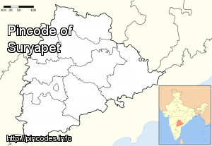
Suryapet /ˈsuËrjÉ‘ËpeɪtÉ™/ is a city in Nalgonda district of the Indian state of Telangana. It is the mandal headquarters of Suryapet mandal in Suryapet division.
The city has historical recognition as Gate Way of Telangana.
Suryapet or Suriapet is located at 17.1500°N 79.6167°E / 17.1500; 79.6167More Info